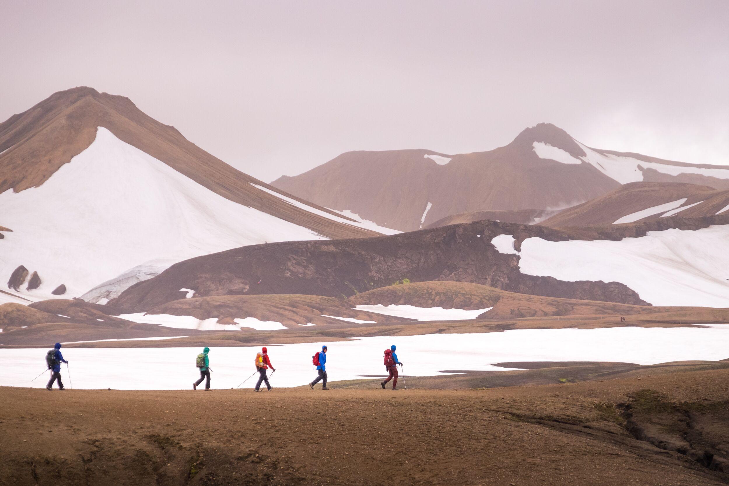
Trek Iceland on the Laugavegur trail
A paradise for hikers
Trek Laugavegur, Iceland’s best-known hiking trail, and see the rugged beauty of the highlands. Along the way, you’ll discover some of the most famous spots in Iceland’s wild interior.
The classic Laugavegur route takes you between Landmannalaugar and the valley of Þórsmörk. Landmannalaugar is a buzzing summer hub in Iceland’s highlands. Its name translates as “People’s Pools”, thanks to the geothermal hot springs in the area, which have been a relaxing destination for many travellers over the centuries.
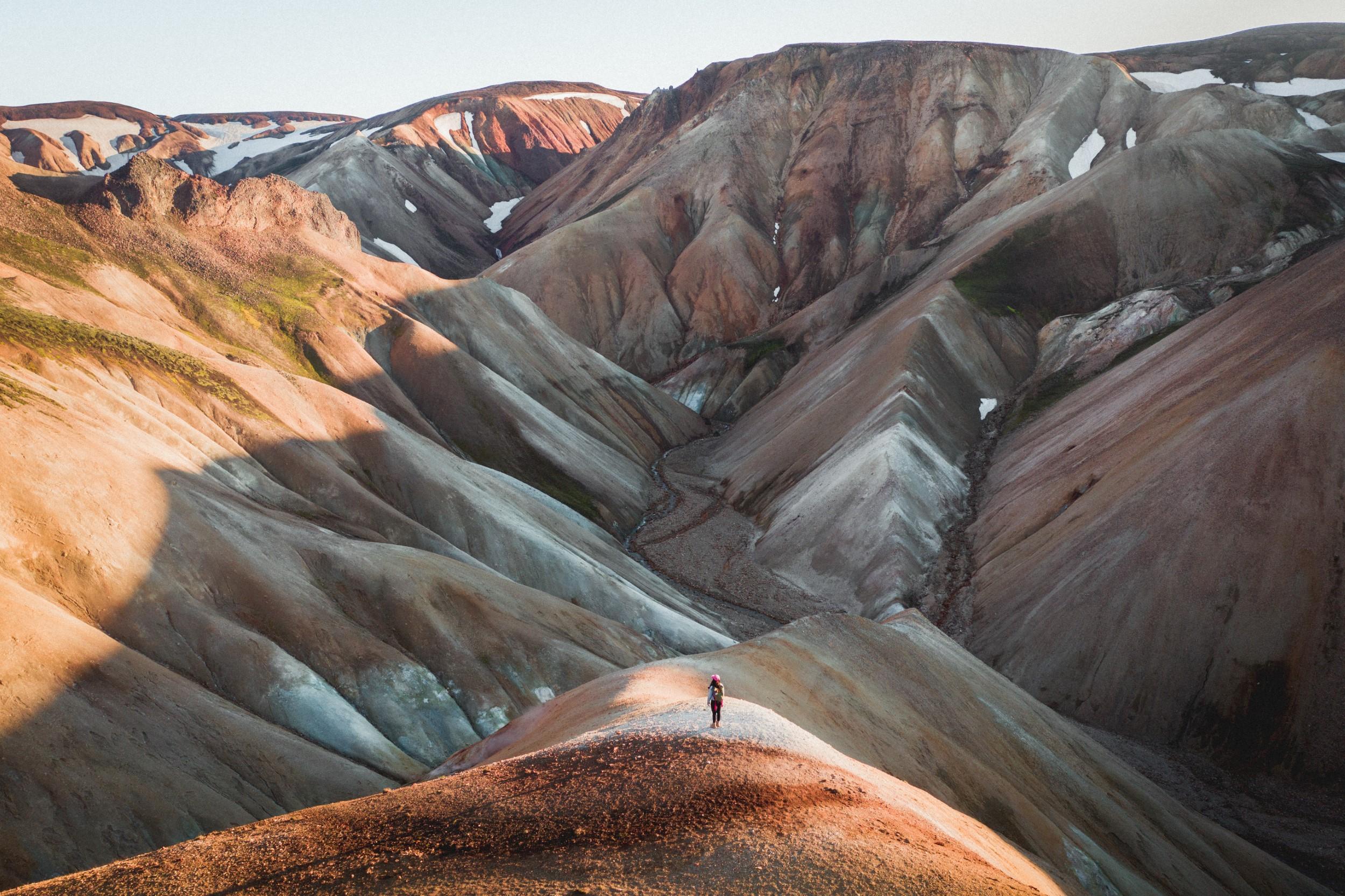
But these springs are not the only things that entice visitors. Landmannalaugar is set in a valley of rhyolite mountains, whose particular rock causes an array of strange colours, from blue through to red and pink.
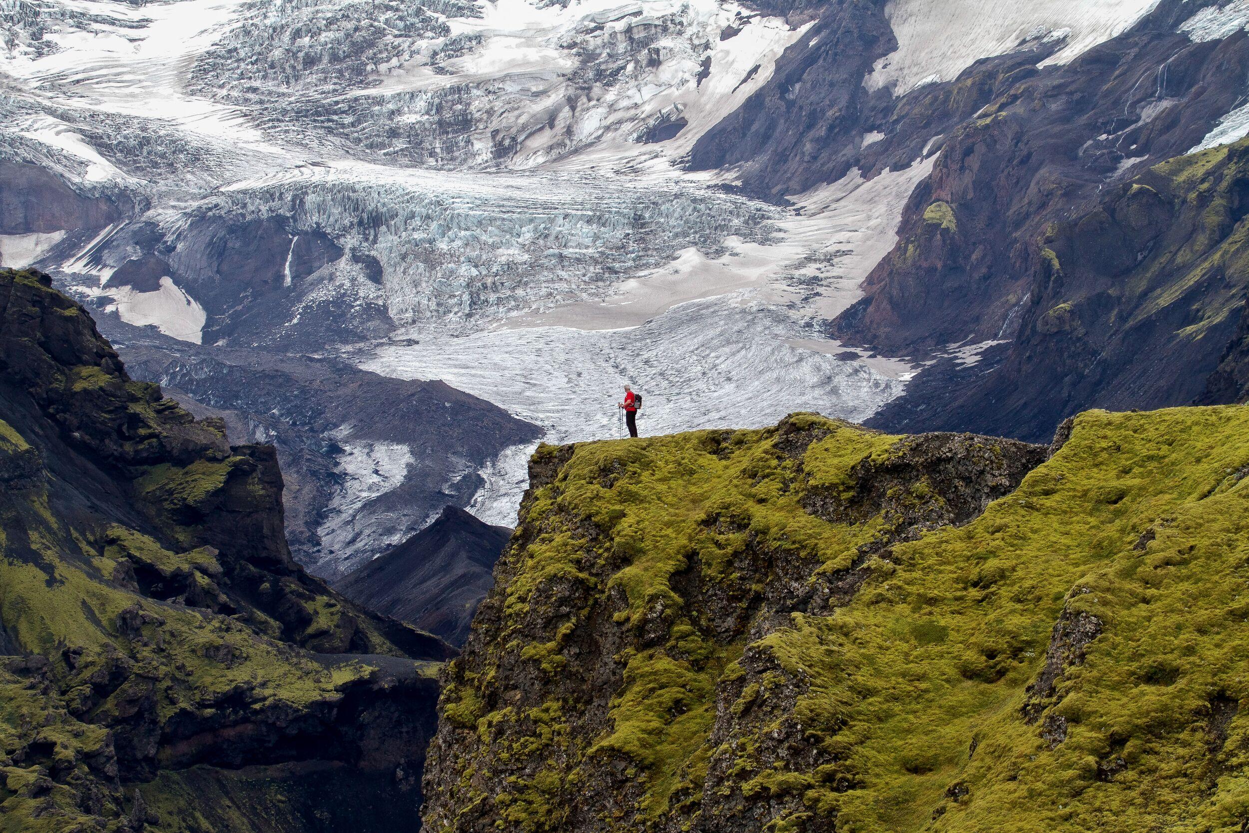
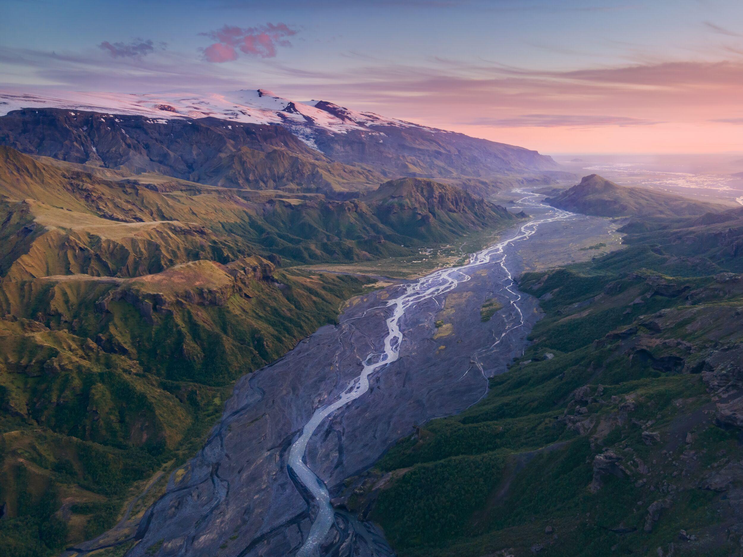
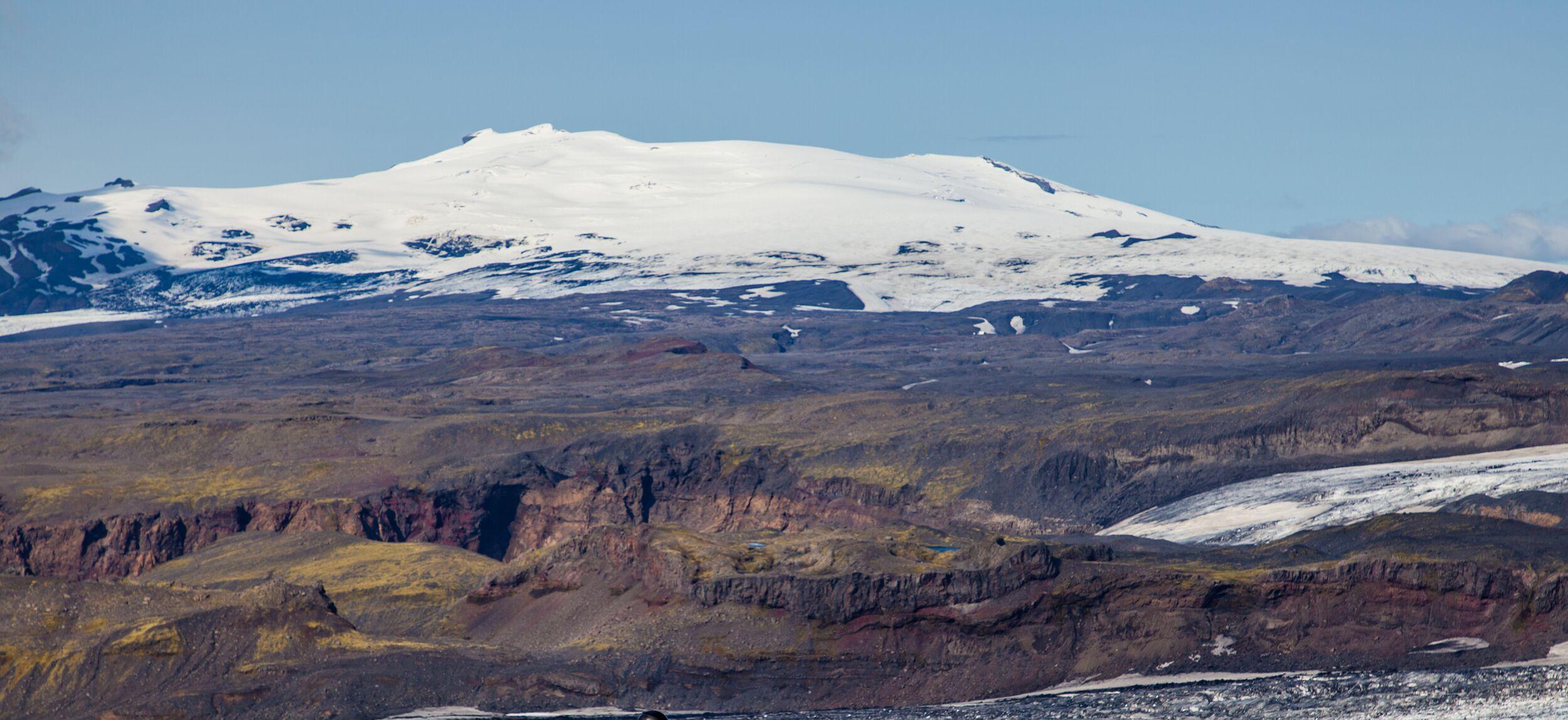
At the other end of the trail is Þórsmörk, or “Thor’s Valley”. As the story goes, the Norse god Thor struck the earth with his hammer, Mjölnir, and this valley was created. Visit to see a vast valley surrounded by glaciers, including Eyjafjallajökull, Mýrdalsjökull, and Tindfjallajökull, and with the breathtaking Krossá river running through it.
These are some of the most impressive landscapes in Iceland—if not on the whole planet. And the best way to see them is on the Laugavegur trail.
Note that much of the highlands become completely inaccessible during the winter. That’s why Laugavegur trips typically can only happen between June and August.
The Laugavegur itinerary
The Laugavegur trail takes you on the 55-kilometre (34-mile) journey between Landmannalaugar and Þórsmörk. You can start in either valley, but whichever way you tackle the route it takes 4 or 5 days.
That means that you’ll be walking about 14 kilometres (roughly 8.5 miles) each day. Typically, that takes between 5 and 7 hours, allowing for plenty of time to take photos and regular rest breaks. It also allows for you to go at a slower pace when tackling the ascent. Across the whole route, there are about 1,600 metres (5,500 feet) of elevation gain.
Along the way, you’ll see hot springs and mud pools, gorges and glaciers, rugged mountains and canyons. This is the wildest and most remote area of Iceland and, apart from other hikers, you won’t see a soul.
Each night, you’ll stop in a different mountain hut along the route, including at Hrafntinnusker, Álftavatn, and Botnar. All these huts are heated and some have electricity and hot water. You’ll sleep in bunk beds in dormitory rooms and share dinner as a group in the evening.
You have the option of how you want to tackle the journey. You can either join a guided group tour, led by a local expert, or walk it alone. With a guide, you’ll have the benefit of local knowledge and insights into the surrounding area. But if you want to embark on your own adventure, you can take a self-guided tour, with your accommodation all booked for you.
If you book a group tour, you’ll end your trip with a group barbecue. It’s a great way to say goodbye to the rest of your team before your next adventure.
How to reach Laugavegur
How do you get to the Icelandic highlands to start your trek? You have a couple of options. But the easiest way is to join a tour.
On a guided Laugavegur trek, you’ll be picked up from Reykjavík BSí bus station and be taken with your group on the 4-hour journey to Landmannalaugar. Along the way, you’ll pass volcanoes including Hekla, traverse some of the rugged highland roads, and get to know your fellow travellers.
Even if you don’t join a tour, you can still take the Highland bus. It leaves twice a day to Þórsmörk during the summer months, once to Landmannalaugar, and once to Skógar too.
Overall, it’s not recommended to arrive by car if you are doing the Laugavegur trail. You’ll have to leave your vehicle at one end of the trail for a number of days and then hike back to collect it. What’s more, reaching Þórsmörk requires a specialised vehicle that’s able to handle the unpaved F-roads and to cross rivers you’ll find on your way. So, taking the Highland bus or a guided two are the two options available.
What else to see around the Laugavegur trail
The Laugavegur trek is not the only hiking trail in the Icelandic highlands. In fact, both Landmannalaugar and Þórsmörk are very famous as hiking hubs, at the centre of a network of criss-crossing hiking trails that can show you the best of the highlands. If you want to see more while you are there, it’s very easy to extend your trip.
For example, one of the most popular extensions of the Laugavegur route is known as Fimmvörðuháls. This name translates as “five-cairn trail” and it takes you 25 kilometres (15.5 miles) from Þórsmörk to the renowned waterfall Skógafoss. Along the way, you’ll cross the pass between two glaciers, Eyjafjallajökull and Mýrdalsjökull, and witness the craters and lava fields created by the 2010 Eyjafjallajökull eruption.
Alternatively, base yourself in Þórsmörk and explore your sublime surroundings. For example, visit Tröllakirkja, a unique rock formation, or head down into the Sönghellir cave system. There are plenty of mountains to climb in the area too, including Mount Réttarfell, Valahnúkur, or Rjúpnafell. Or join an extended guided tour from Þórsmörk to go beyond the most popular trails.
Similarly, Landmannalaugar is a great basecamp for hiking too. For instance, you can hike to the epic Grænihryggur, or the Green Ridge, and return in a day. This 20-kilometre (12-mile) walk typically takes about 8 hours, showing you one of the most magical sights in the highlands along the way. Other options from Landmannalaugar include the Brennisteinsalda volcano and Bláhnúkur, the so-called “Blue Peak”.
With so much to do, the highlands are an unmissable summer destination for lovers of the outdoors.
Frequently asked questions
There’s intermittent cell coverage on the Laugavegur hike. For example, in some of the valleys there’s no service at all, but you can usually get reception on nearby mountaintops.
This means that your phone should not be your only means of navigating if you’re tackling the Laugavegur trail alone. Instead, you should bring a physical map and compass or a separate GPS device.
Navigating the Laugavegur trail is reasonably straightforward in good weather. There are very clear paths that take you from Landmannalaugar to Þórsmörk.
While the path is clearly marked, navigation can sometimes be a challenge in poor weather conditions. If you are walking in low clouds, visibility can be limited. That means that people who are walking without a guide should be well practised in using a compass and navigating outdoors.
You can tackle the Laugavegur trek with or without a guide. That’s your decision and there are benefits to both.
If you travel with a guide, you’ll have someone on-hand with local knowledge and safety training, so that you can get the best insights from your journey and have peace of mind if anything were to go wrong.
Travelling without a guide means you can embark on your very own adventure. You’ll plan your own itinerary, go at your own pace, and enjoy the wilderness by yourself.
Iceland is one of the most sparsely populated countries in Europe, and the highlands, where the Laugavegur trail is located, are its least inhabited region. While Laugavegur is a popular trail, it requires effort to access, and only the most dedicated hikers take it on. During peak season, the huts and small campsites can fill up at night due to restrictions on wild camping. However, hikers spread out along the trail during the day, so it doesn't feel busy at all. In Icelandic terms, it might be considered "crowded" since you'll encounter other hikers, but compared to other popular trails in the European Alps or Norway, Laugavegur is still much less crowded.
While there aren't exact figures on how many people trek the Laugavegur trail each year, it’s widely regarded as one of the most popular multi-day hikes in Iceland. That said, even with its popularity, the trail takes you through a wild and remote landscape, far from any signs of civilisation. The experience offers a sense of true adventure and solitude, with only the dedicated making the journey. It’s an unforgettable achievement, as the beauty of Iceland’s highlands creates an immersive escape into nature.
The Laugavegur trail takes you on a 55-kilometre journey from Landmannalaugar to Þórsmörk, across the Icelandic highlands. Fimmvörðuháls is another hiking route that goes from Þórsmörk to Skógafoss.
Fimmvörðuháls, meaning “the five-cairn trail”, is a 25-kilometre hiking route that journeys between the two glaciers, Eyjafjallajökull and Mýrdalsjökull. While most people manage the route in a day, it’s a little more strenuous than a typical day on the Laugavegur trail. That’s because it involves 1,000 metres of ascent.
If you’re planning a trip across the Laugavegur trail, you can easily extend your itinerary to include Fimmvörðuháls too. It’s well worth doing, particularly as you get to see the craters and lava fields created by the 2010 Eyjafjallajökull eruption.
The Laugavegur trail is known as one of Iceland’s best treks for good reason. Crossing some of the most wild and rugged landscapes on the planet, it’s a thrilling and sublime adventure.
It’s not just us that says so. National Geographic has named Laugavegur one of the 20 best treks in the world.
Across the whole of the Laugavegur trail, you can expect to tackle about 1,600 metres (5,500 feet) of ascent in total. While it doesn’t balance evenly across the different days, this works out as a rough average of 400 metres (1,300 feet) per day.
If you trek Laugavegur in summer, you should expect temperatures to range between 0°C (32°F) at night and highs of 15°C (59°F) during the day. However, it could be a lot cooler than that.
Remember, the trail takes you across exposed and mountainous terrain and weather can change quickly. While it can be warm and sunny one moment, you may find yourself in clouds the next. Be prepared for anything!
The Laugavegur trek is 55 kilometres in length, or just over 34 miles. You’ll typically walk for between 12 and 16 kilometres each day for 4 days.
The Laugavegur trek is known as one of the most challenging and rewarding hikes in Iceland. But it’s not the distance that’s the main difficulty, but the terrain—and the unpredictable weather conditions.
You’ll be walking up and down across rugged rocky landscapes, for 4 consecutive days. That means that you will need to be of a reasonable level of fitness.
The other challenge is that you can be exposed to the weather. Whether it’s sunshine, mists, or brisk winds, you’ll need to be ready for anything.
That said, many people of all ages complete the Laugavegur trek in Iceland and have the time of their lives.
The Laugavegur trail covers a distance of 55 kilometres (34 miles) from Landmannalaugar to Þórsmörk. You can take it as slowly or as quickly as you would like.
Most people complete the trail in 4 or 5 days. If you take 4 days, you can expect to walk about 14 kilometres each day. Typically, it takes about 5 hours each day to cover that distance.
Yes, absolutely. Laugavegur is stunning, diverse, and historic. But it’s also busy and often fully booked.
Fit beginners can do it with appropriate preparation, especially on guided tours.
Only at designated campsites by the huts.
Weather, rivers, and navigation can be challenging. Going with a guide reduces risk of making wrong decisions.
The Volcanic Trails trek offers the closest experience with fewer crowds.
Related tours
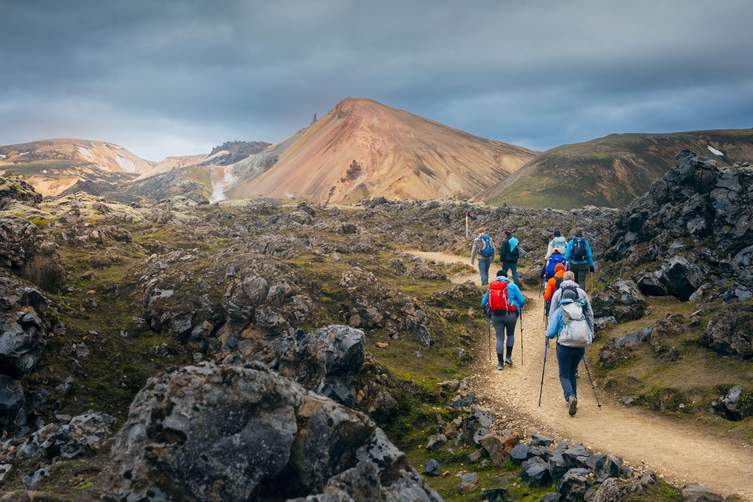
- Early Bird Offer
6-Day Laugavegur & Fimmvörðuháls in Huts
Experience the breathtaking beauty of the Icelandic highlands on the Laugavegur & Fimmvörðuháls Hiking Tour. This six-day trek is an extraordinary journey through some of Iceland's most stunning landscapes, perfectly blending two of the country's most famous trails.


