- Best time to visit
- March - June
- Distance from Reykjavík
- 330 km (205mi)
- Coordinates
- 64.022264, -16.67060935
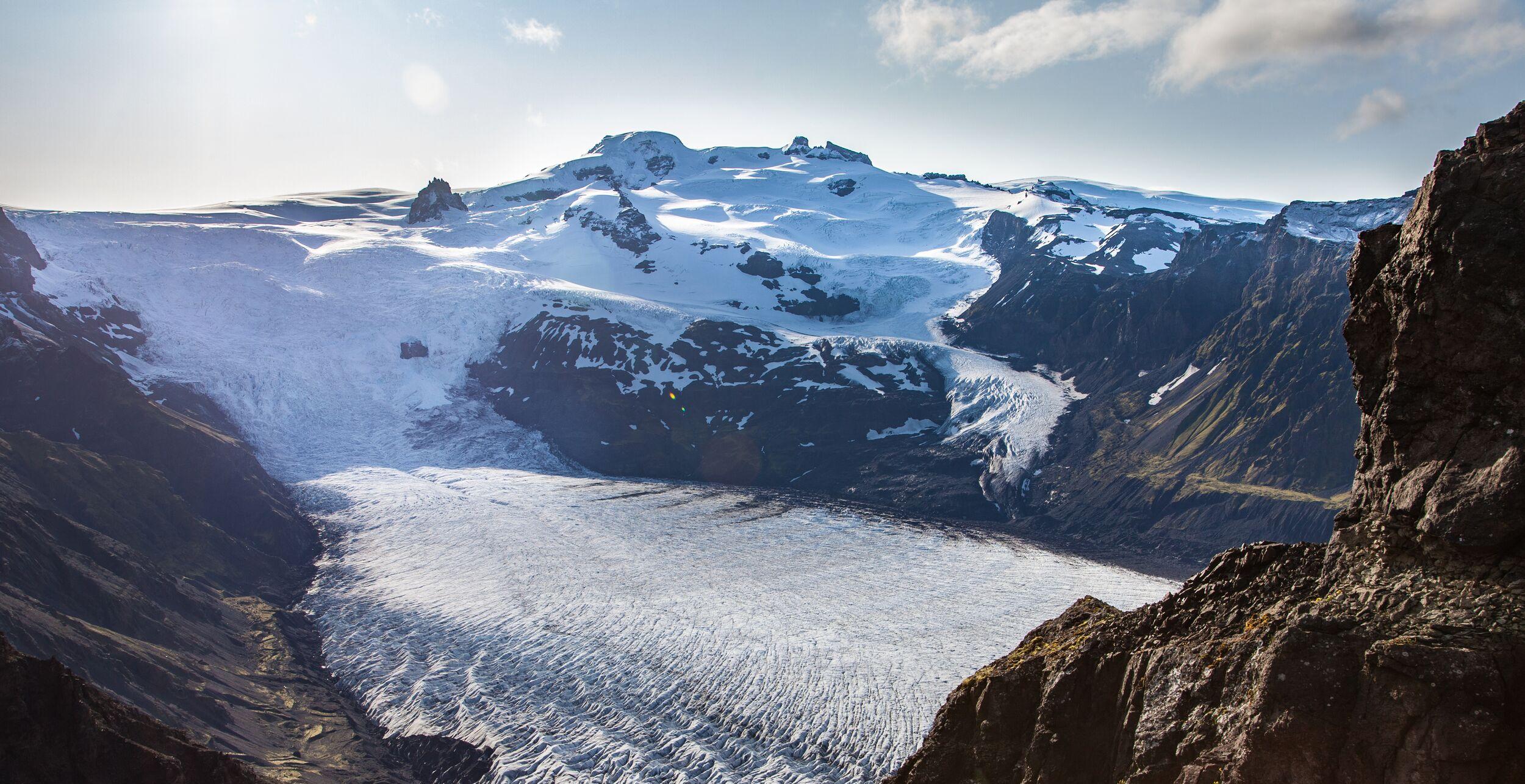
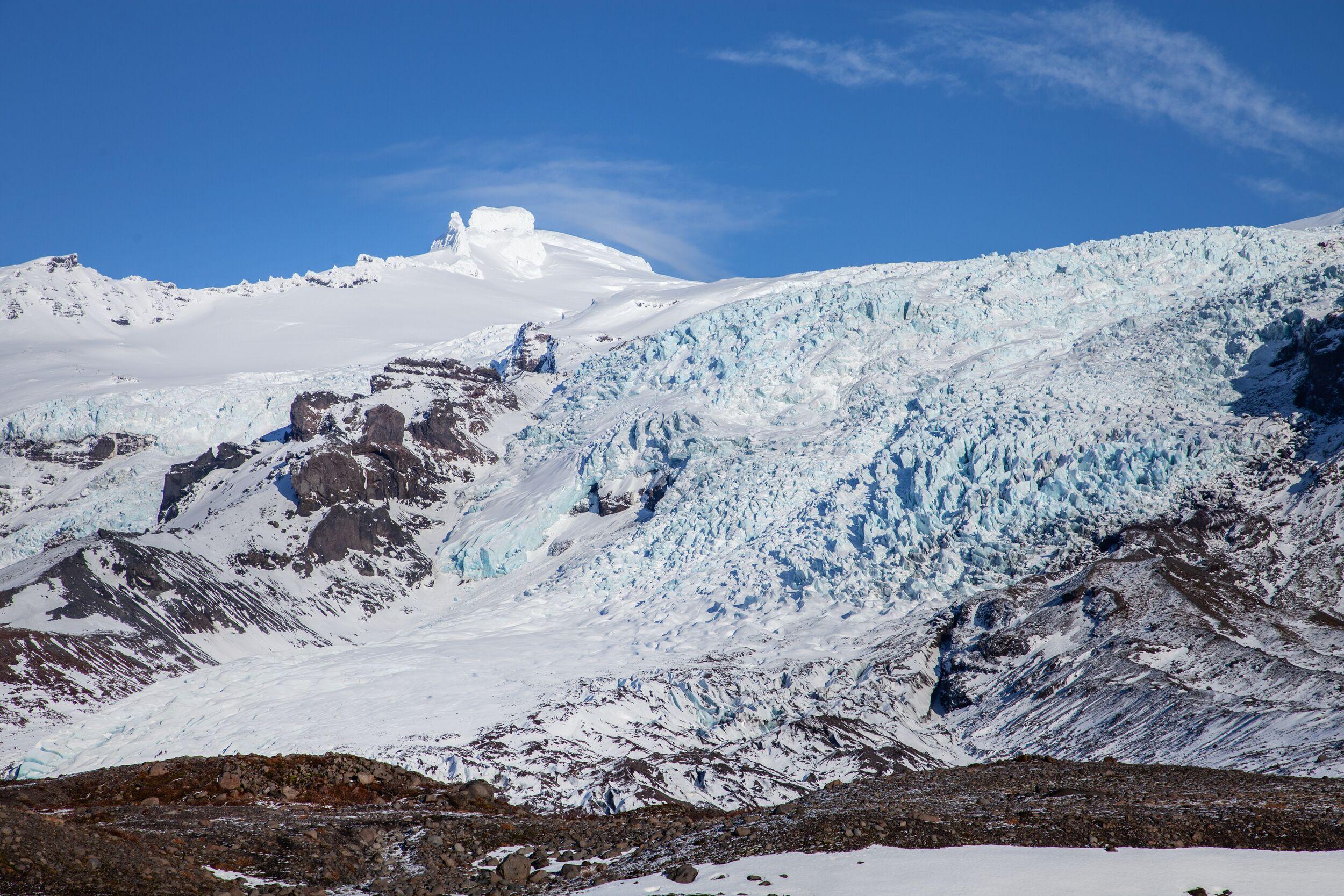
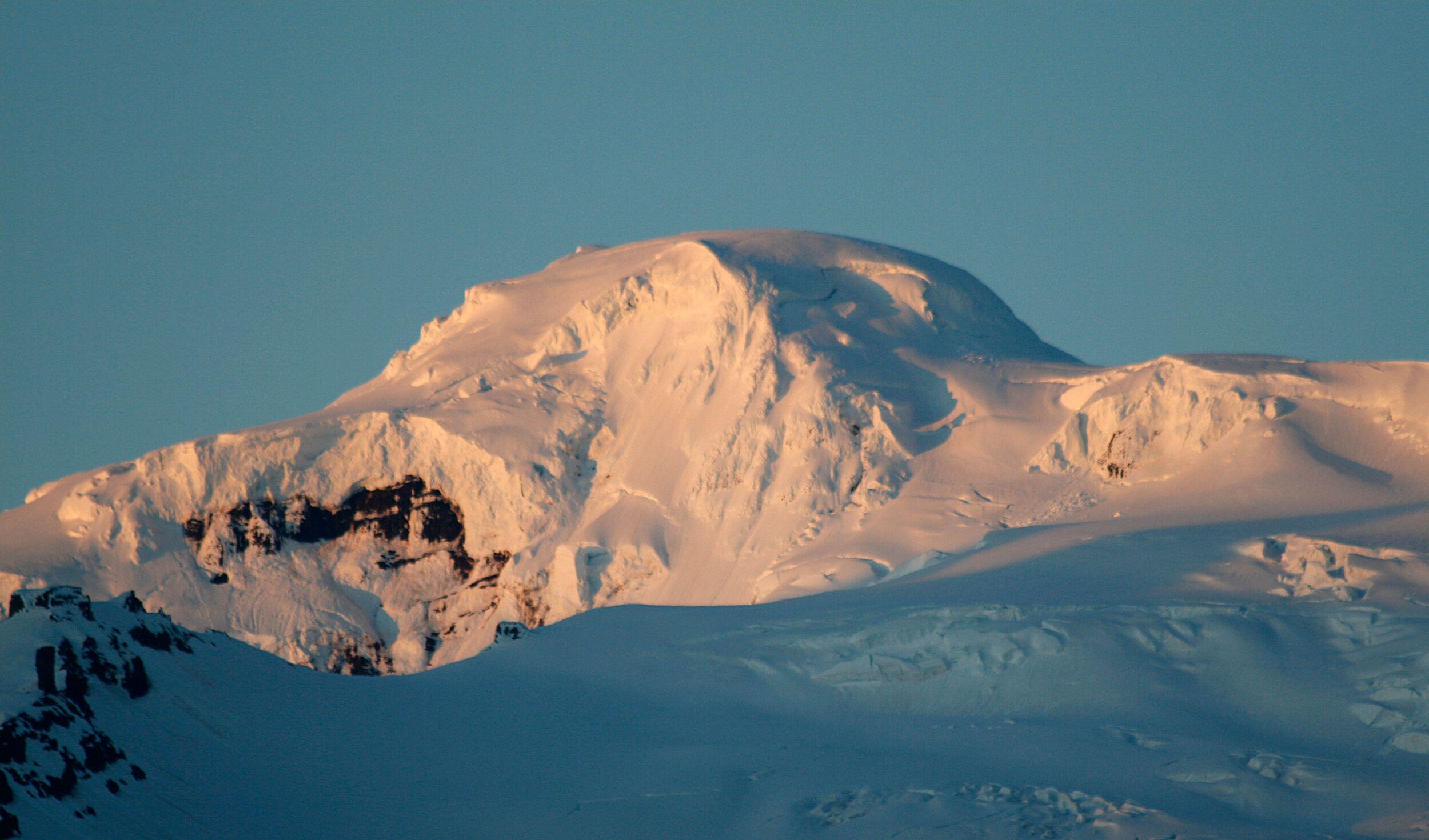
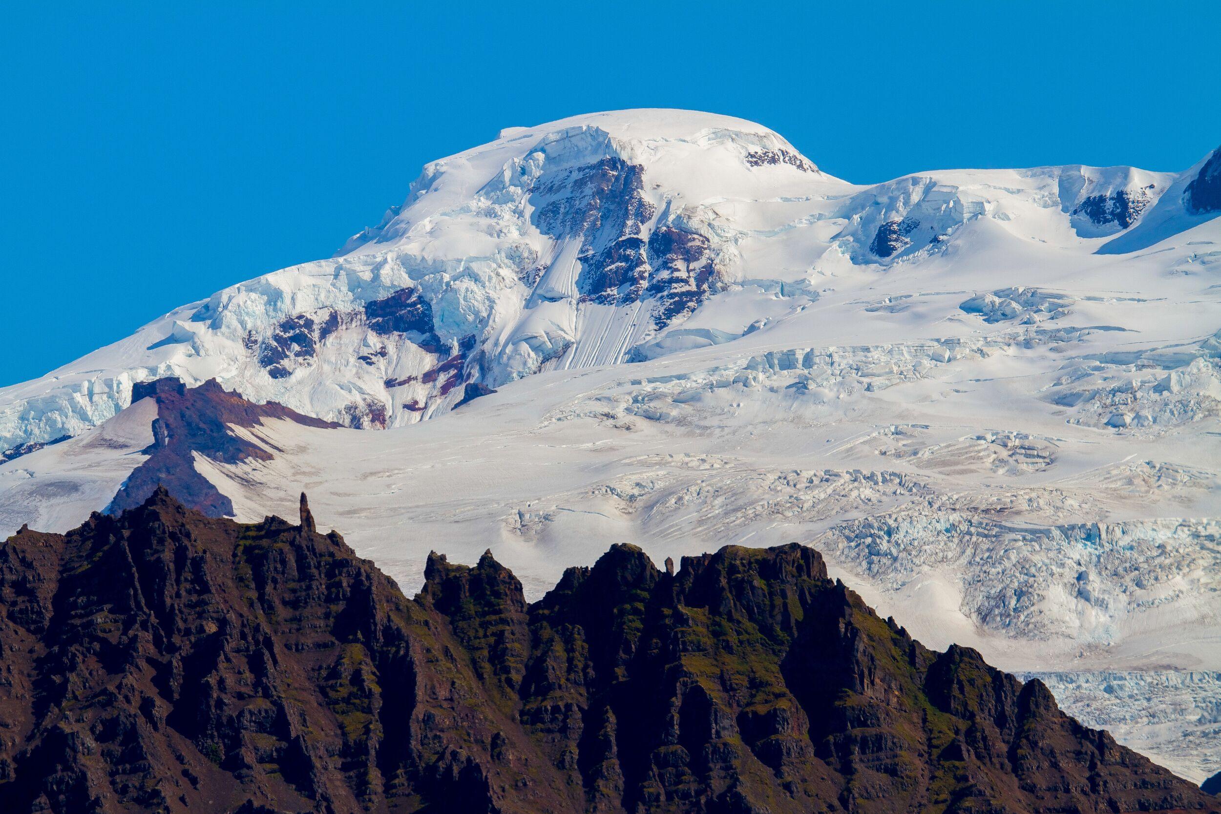
Hvannadalshnjúkur, the highest peak in Iceland, sits atop the Öræfajökull volcano in southeast Iceland and dominates the Vatnajökull National Park's skyline. Prominently visible along the Ring Road stretch between Höfn and Vík, this dome-shaped peak marks the highest point of the Mid-Atlantic Ridge, an underwater mountain range delineating several tectonic plates.
Iceland's portion of this ridge rises above sea level, culminating in Hvannadalshnjúkur. The peak's ice-covered expanse, shimmering under sunlight, is a breathtaking sight. Despite not being technically demanding, the glacier's unpredictable nature, weather and ever-shifting crevasses make guided climbs essential unless accompanied by seasoned glacier climbers.
Historical and Geographical Significance
Hvannadalshnúkur, being a part of the Öræfajökull volcano, holds significant geological interest. The volcano's last eruptions in the 18th century were among Iceland's most devastating, leading to significant changes in the surrounding landscape. The peak itself stands as a sentinel overlooking vast plains, glaciers, and coastlines, offering a unique vantage point to observe Iceland's diverse geology.
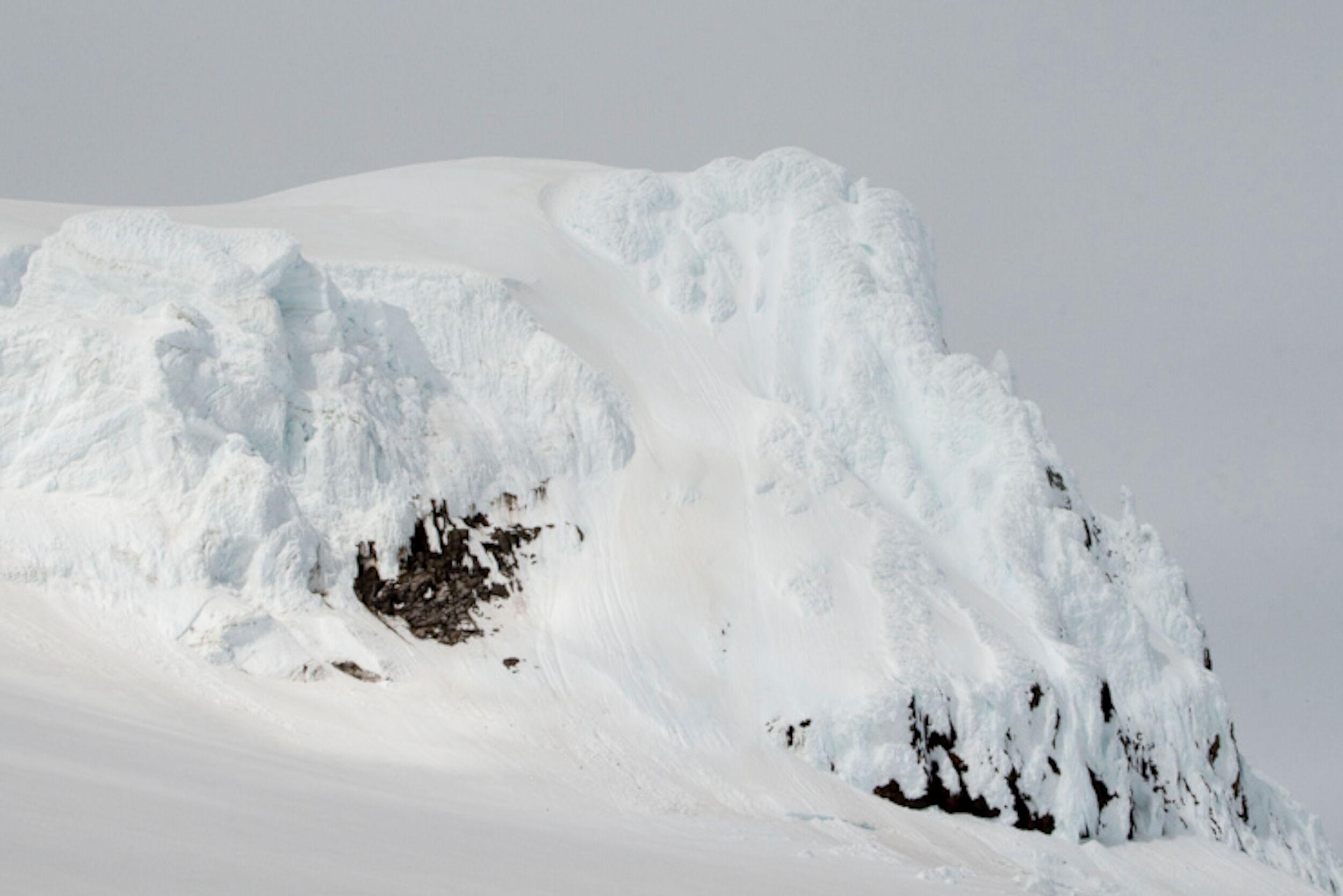
The first documented climb of Hvannadalshnjukur took place on August 17, 1891, led by British adventurer Frederick W. W. Howell, with the assistance of local guides Pall Jonsson and Thorlakur Thorlaksson. Since then, the renowned mountain has continued to challenge climbers.
Fortunately, guided treks offer enthusiasts with decent physical fitness, endurance, and some mountain climbing background the opportunity to conquer the peak. Given the glacial landscape, climbers must be securely roped and accompanied by guides well-versed in glacial navigation to safely maneuver through the myriad of crevasses.
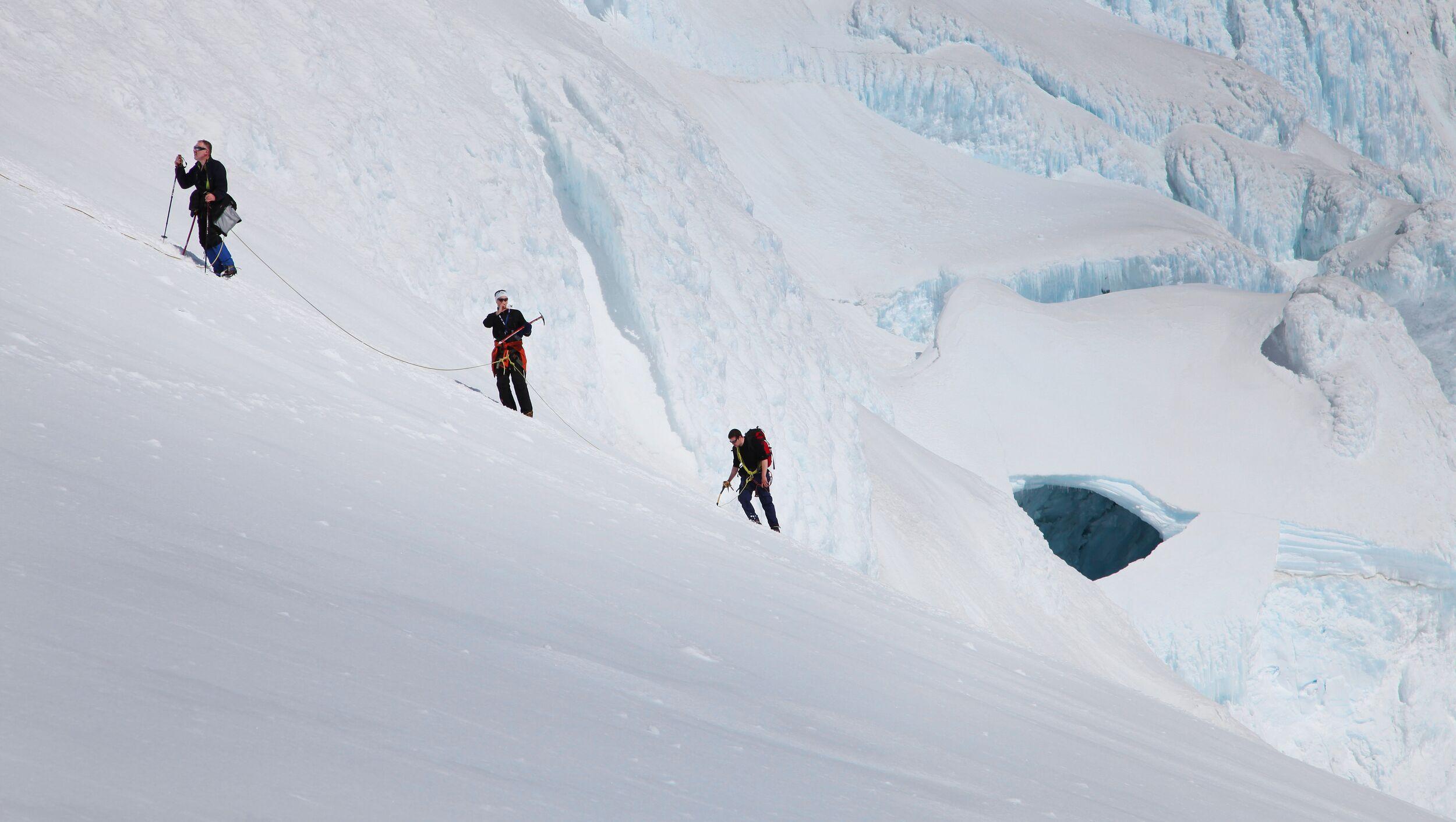
Summiting Hvannadalshnjukur
Two primary paths lead to the summit of Hvannadalshnjukur, both originating from the mountain's western side and encompassing roughly 2000 meters (6600 feet) of elevation.
The Hryggjaleið Route is accessible only until mid-July. This route from Virkisjökull glacier closes due to crevasses and icy conditions. Reserved exclusively for expert climbers, it's known for its high difficulty.
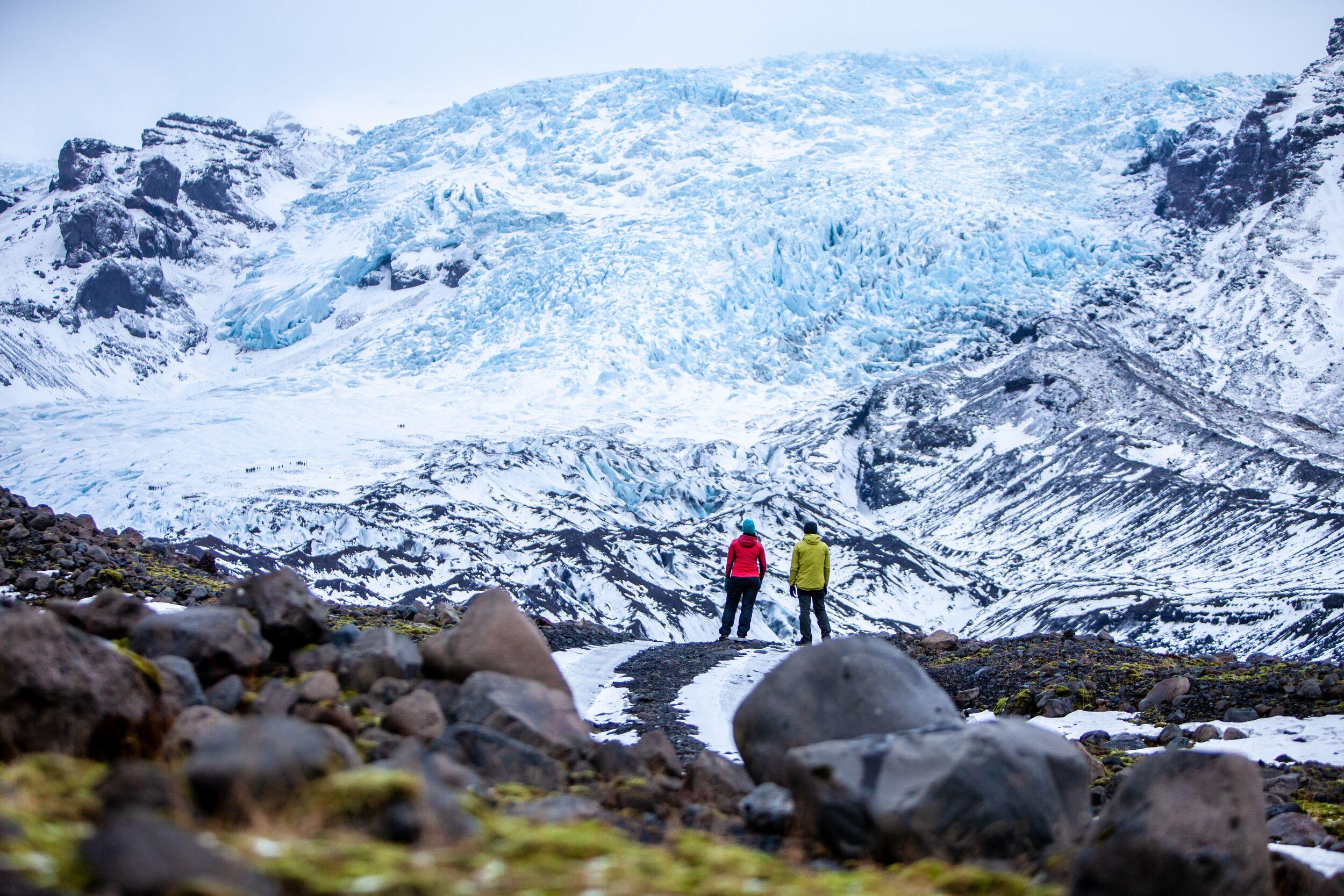
The Sandfellsleið Route begins south from the Skaftafell National Park's parking area. T0his standard route is the preferred choice for many. Traversing the Svínafellsjökull glacier, climbers will experience glacier walking and elementary ice climbing. The entire journey takes around 12 hours—8 hours ascending and 4 descending. It remains open most of the year.
Given its sea-level starting point, the 2000m ascent and descent in a day classify Hvannadalshnjukur's climb among the world's lengthiest and most challenging. However, unlike in the Alps, climbers won't feel air-thinning effects after ascending 6500 ft. Nevertheless, climbers need robust fitness and, crucially, endurance for a day-long challenging climb. Typically, guided groups allocate 6-7 hours for the ascent and 4-5 hours for the descent.
The climbing is strenuous - a physically and psychologically intense experience, only suitable for climbers with a high degree of fitness, focus and stamina. This is an expedition-level climb that’s challenging and demanding.
Furthermore, if you choose to climb the mountain independently without the assistance of local professionals, you must possess the necessary skills to use climbing equipment safely and confidently on steep mountainous terrain and glacial surfaces covered with snow. However, if you opt for a guided tour, all necessary equipment will be provided, and a trained guide will ensure your safety.
Questions and Answers About Hvannadalshnúkur Summit Hike
It is good to have some sandwiches (3-4), some snacks or energy bars (4-5), and about 2L (0.5 gallons) of water is recommended.
There are no technical difficulties, but the last 200m to get to the summit are steeper than the rest.
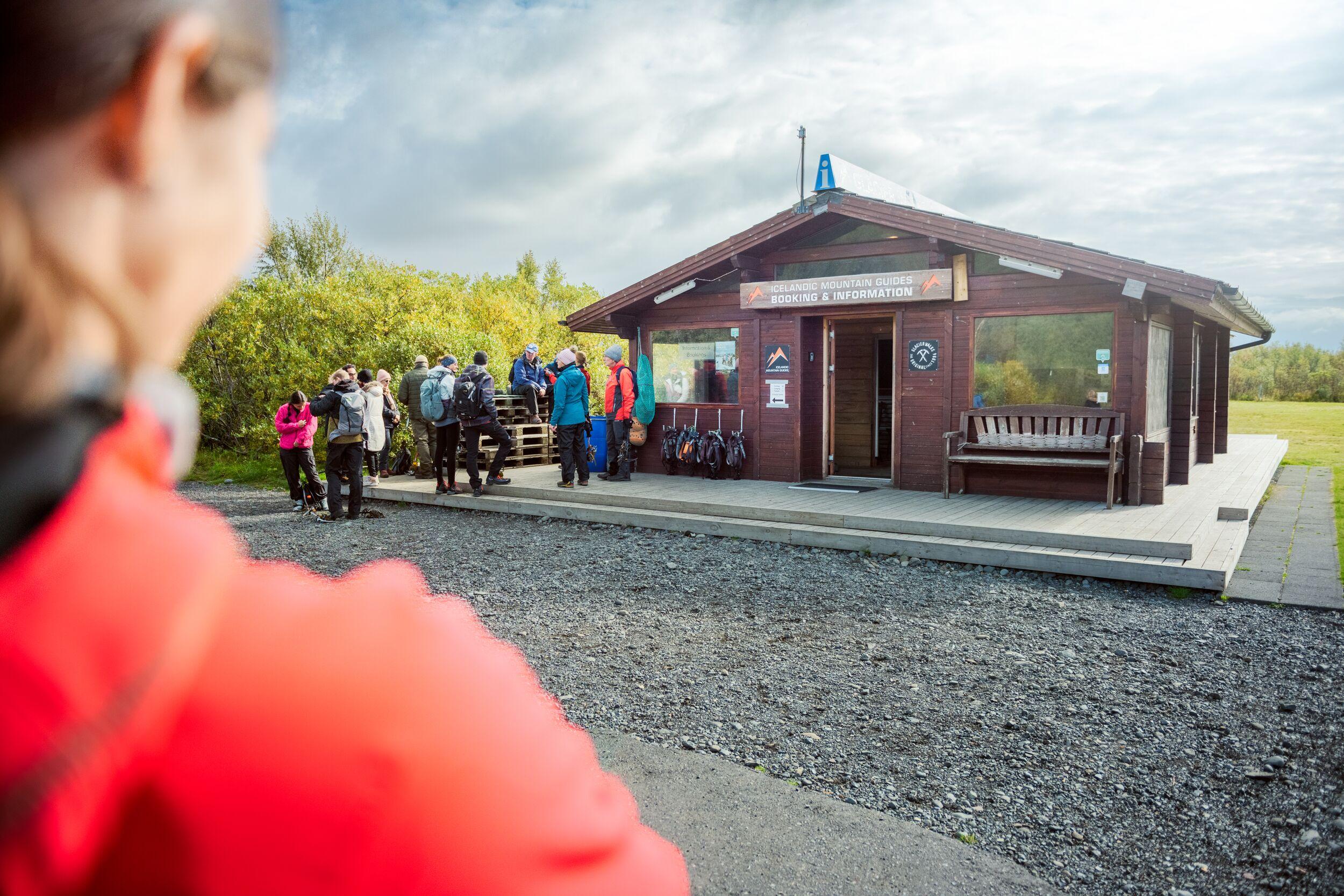
Yes, there is a mandatory briefing the day before departure at 16:00 at the Base Camp in Skaftafell. The guide will introduce the hike, explain in detail all the sections, and then will check on your gear (please come with it, boots in particular) and then will hand out the gear that is included (crampons, harness, and ice axe).
There are no technical difficulties, but the walk is very long and demanding with a 2000m elevation gain and is 22km long. It's about endurance and being able to keep a steady pace for several hours.
Up on the summit, temperatures are different than at the start of the walk. The summit is 2100m (6,923 feet) and should be approached as if it's a 4000m (14,000 feet) peak, conditions-wise. Depending on whether the departure is early or late in the season, there might be different conditions, but you always want to have a wind and rainproof layer, and both a light and heavy puff jacket with you.
The weather can be variable, but we usually go up with a margin of safety and only if the weather window is long enough to go back and forth in the best weather possible. Despite being at a relatively low elevation, we treat the summit as a high elevation one.
If the weather is good and clear, you can see almost a quarter of the country. Starting from the South, you see the volcanoes of Katla and Eyjafjalljökull, then Hekla; towards the West, you see the glaciers of Langjökull and Hofsjökull and to the North, you see the entire Vatnajökull with Herdubreid and Snæfells. To the East, you see the coastline towards Höfn and the Vestrarhörn.
It shouldn’t happen because the summit is only 2100m, we go slowly, and we don’t camp up there. In some cases, it's possible that someone can experience light headaches or lack of appetite, but cases are very rare. Also, we go down very quickly and symptoms should go away soon.
Yes. The first 1000m are on ground, but the second part involves glacier traveling, and the only way to be safe is to be roped up. The danger in the upper part is falling through the snow bridges over crevasses, and the only way to avoid it is to be a roped team.
Related tours
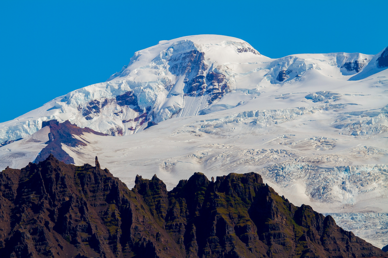
Hvannadalshnúkur - Iceland's highest summit
Ascending the highest peak in Iceland, Hvannadalshnúkur (2110 m / 6900 ft) is a bucket-list worth climb to check off your list! The mountain is located on the northwestern rim of the Öræfajökull volcano and promises an unforgettable hike with breathtaking panoramic views. This is not a beginners’ hike; be prepared for a challenging climb befitting those with ample climbing experience and in fantastic physical shape. No special technical skills are required, but we recommend packing the items on our equipment list (see below). The climb will be mentally and physically gruelling, but it is worth it.


