- Best time to visit
- All year round
- Coordinates
- 63.40477, -19.11821
- Distance from Reykjavík
- 178km (110mi)
Explore Beaches and Wildlife at Dyrhólaey
How to get to Dyrhólaey south Iceland
The Dyrhólaey Peninsula is found along the south coast of Iceland. In fact, the rocky promontory at the base of the peninsula is geographically the most southerly point of mainland Iceland. Reykjavík is 180 kilometres (around 112 miles) from the main car park of Dyrhólaey, so the drive from the capital takes around two and a half hours. Dyrhólaey sits just off the Route One main road that loops around Iceland, so it is easy to navigate to this place yourself. Following Route One out of Reyjavík, you just need to stick to this road as it travels along the south coast until the turn-off for Road 218, which takes you straight to the Dyrhólaey main car park and viewpoint.
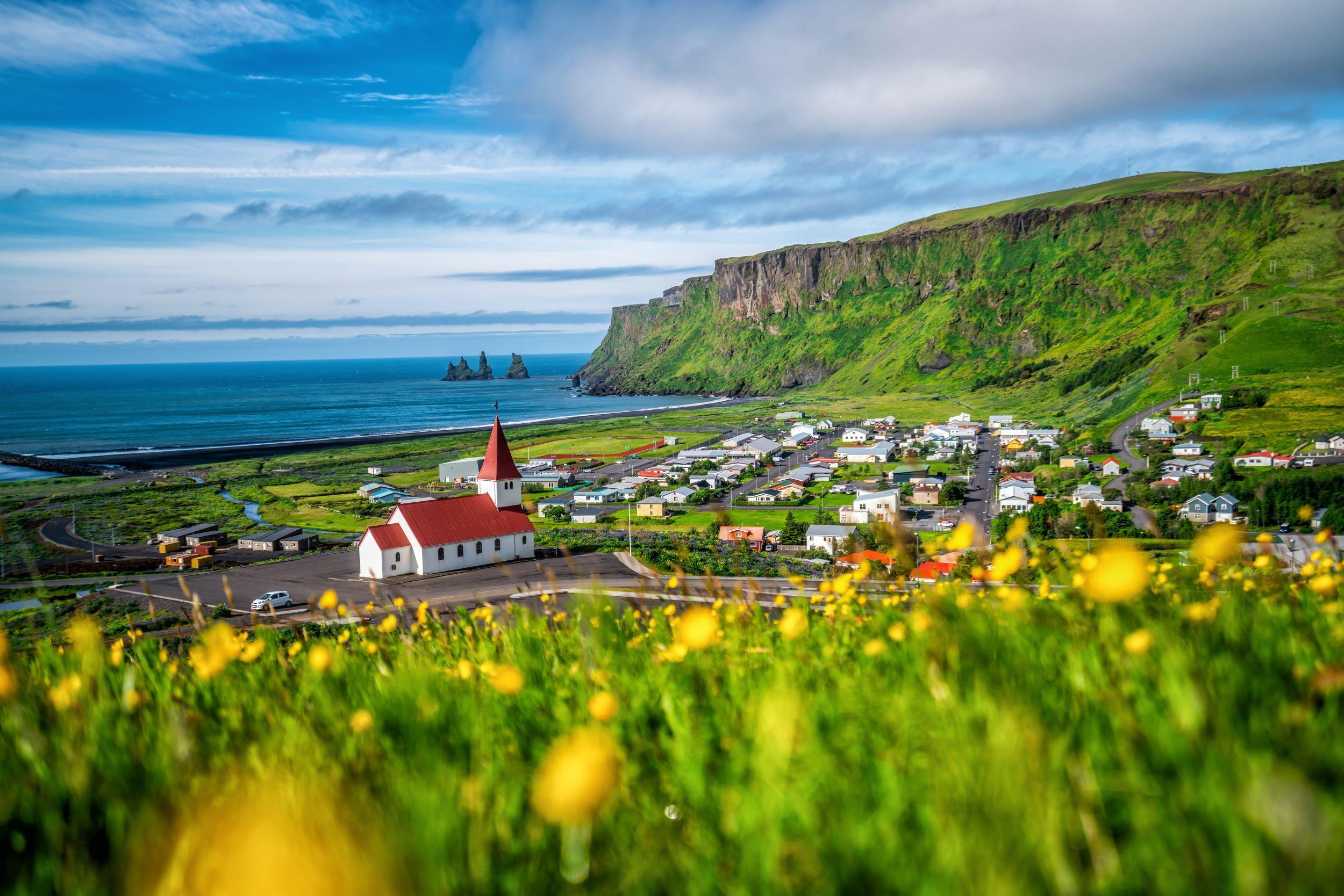
Dyrhólaey is also a short drive from the south-coast village of Vík. By road, this pretty coastal village is 18 kilometres (around 11 miles) from the Dyrhólaey car park and the drive takes around 20 minutes. So, if you’re staying in Vík and exploring the sights of the south coast at a leisurely pace, Dyrhólaey should definitely be on your list of places to visit.
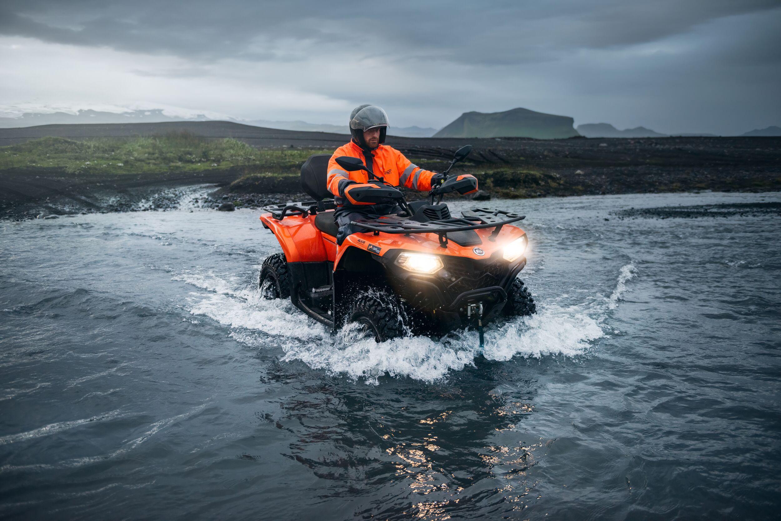
If you don’t fancy hiring a car or driving yourself, day trips along the south coast leave daily from Reykjavík. With a guide and driver, you don’t need to worry about navigation or what to see and do along the way. There are also a few active trips to nearby Sólheimafjara black-sand beach where you can embark on an ATV adventure across the volcanic sand, fording rivers until you reach the wreck of a DC-3 aeroplane on the beach.
Dyrhólaey sits at the west end of the famous Reynisfjara Beach, but due to the dangerous nature of the tides here, it is not advised that you walk to Dyrhólaey from the Reynisfjara Beach car park.
Things to see and do on Dyrhólaey
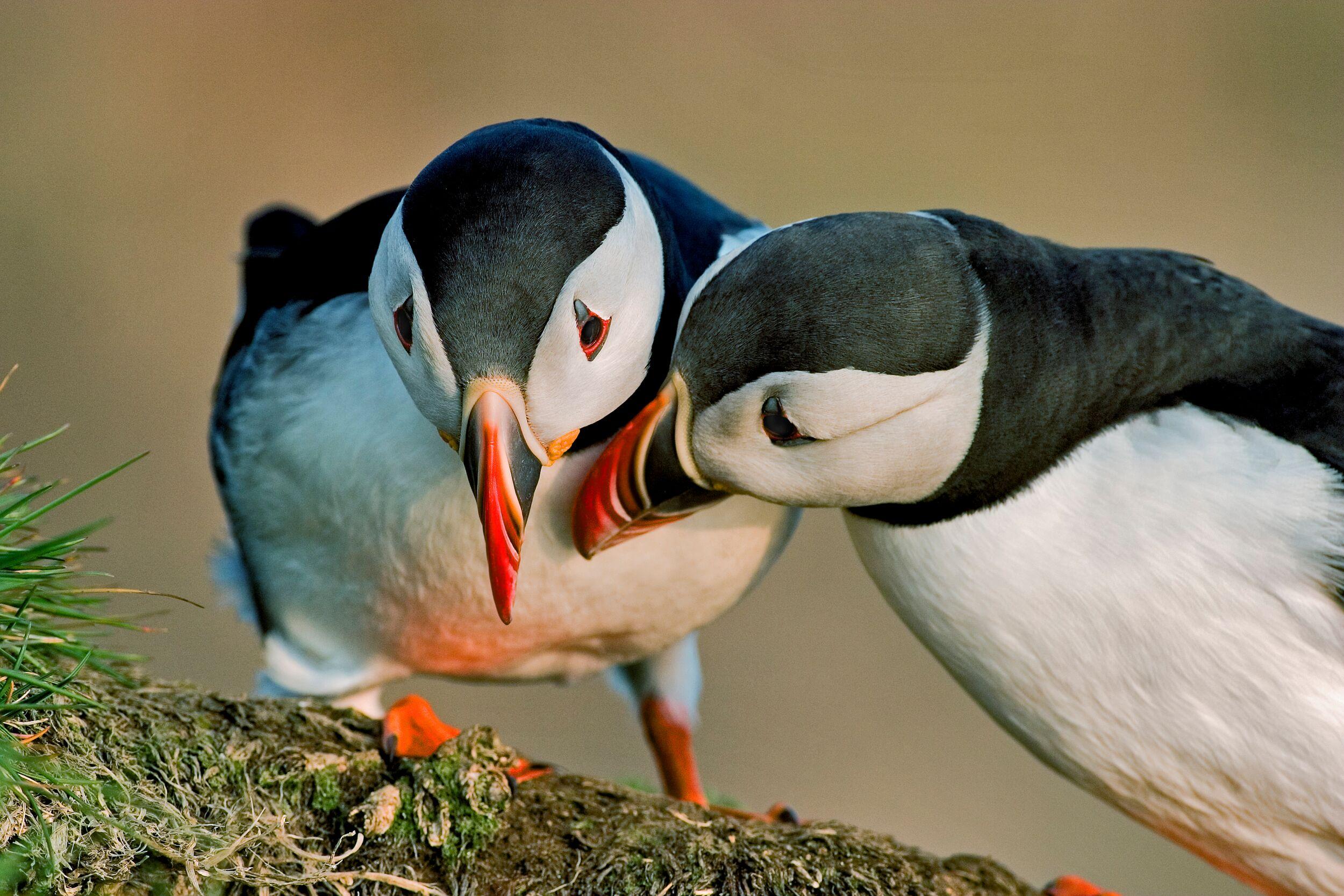
One of the main draws to Dyrhólaey Peninsula is the abundant birdlife that squawks and rustles against the towering sea cliffs. Bird watchers can spot puffins nesting here, and the peak season for puffin watching is between April and September. The birds are most active early in the morning (between 7am and 10am) and later in the evening (between 6pm and 10pm) when they leave their nests to hunt for fish at sea. You can also spot eiders, terns and fulmars wheeling through the sky and calling out to each other. The copious birdlife on the peninsula led to the Icelandic government granting Dyrhólaey as a protected nature reserve in 1978 and in peak puffin season it can be difficult to drive on the peninsula as the nesting birds are given priority over human access.
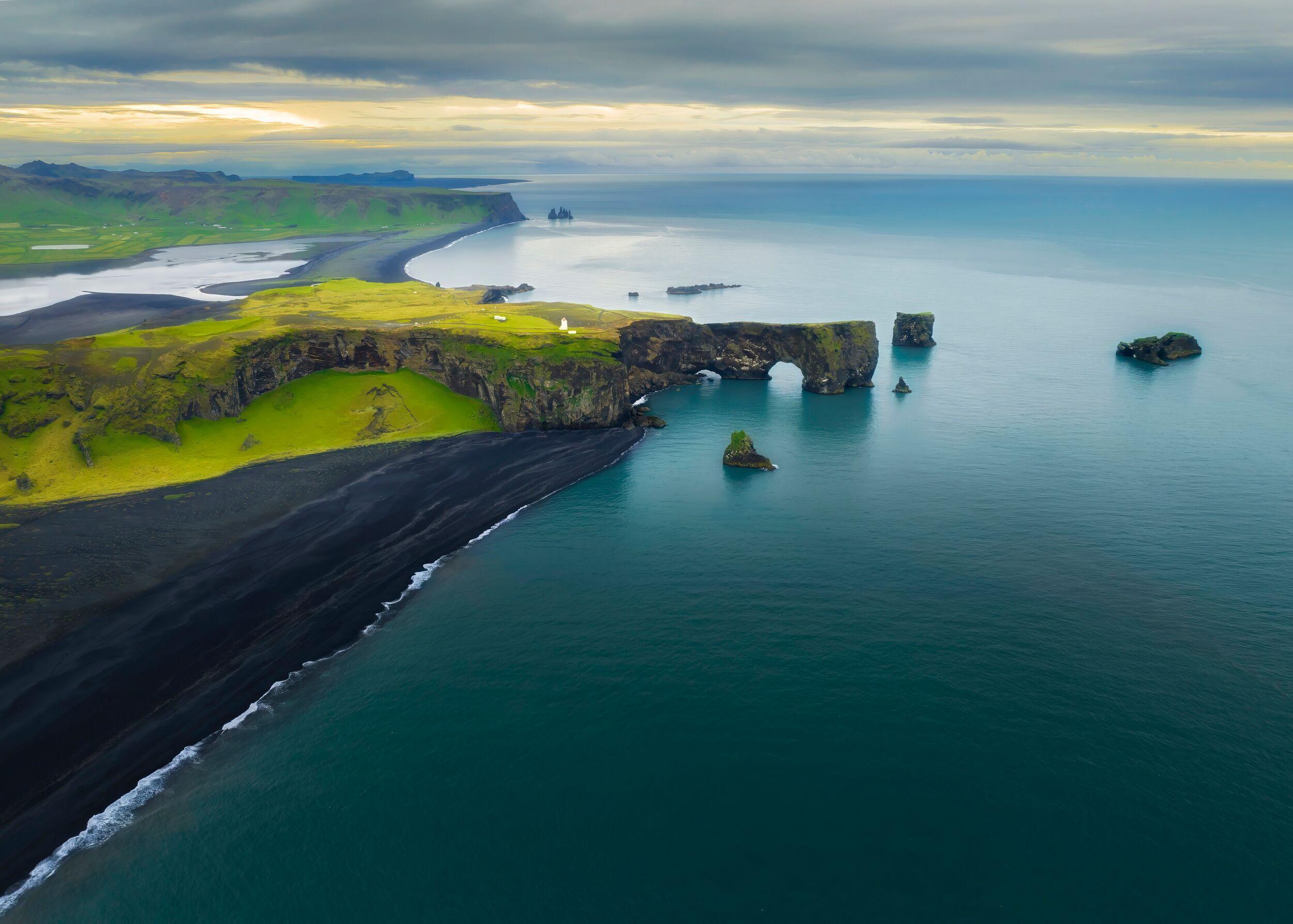
One of the natural sights that attract visitors to Dyrhólaey is the sea arch at the tip of the peninsula. This striking rock formation was created over centuries of erosion, leaving a rock bridge jutting out into the sea. It makes for a beautiful photo and you can even walk across the natural archway to admire the restless Atlantic Ocean all the way to the horizon. Dyrhólaey is also home to one of Iceland’s famous black-sanded beaches. Volcanic activity in the area means that Dyrhólaey Beach boasts a sweep of raven-black sand as striking (but far less crowded) as Reynisfjara Beach which is just next door.
Another prominent lookout point on Dyrhólaey is the old lighthouse. While you can drive up to the upper car park here, the bumpy, steep road is only really suitable for 4WD vehicles. Parking in the much more accessible lower car park, it’s a one-kilometre walk uphill to Dyrhólaey lighthouse and those that complete the hike are rewarded with views of the rugged headland and endless ocean.
How to stay safe at Dyrhólaey
During adverse weather, the small roads on the Dyrhólaey Peninsula can flood without warning. If you are self-driving to Dyrhólaey, it is a good idea to check the SafeTravel Iceland app before you leave for updates about weather and road conditions. Dyrhólaey is a delightful place to walk and hike but during the summer season, terns and puffins can nest in the long grass on the cliffs of the peninsula, so it is best to follow signs and marked routes to avoid angry mother birds.
Just like neighbouring Reynisfjara Beach, the sea around Dyrhólaey is wild and unpredictable. Even in the calmest months, sneaker waves and crashing swells can rise up without warning. It is imperative that you stay away from the water on this section of Iceland’s coast.
Experiences and attractions around Dyrhólaey
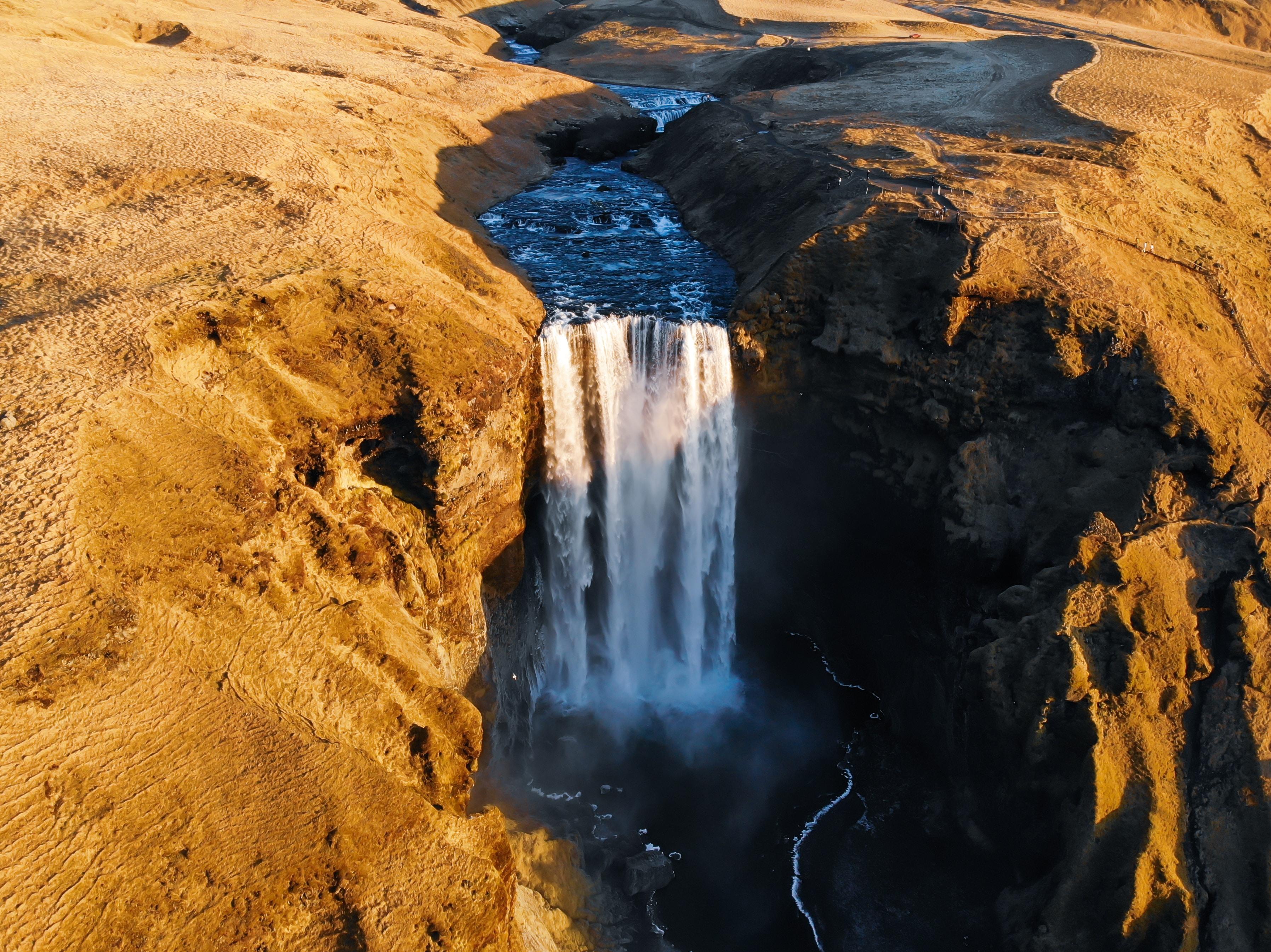
Dyrhólaey is found along Iceland’s south shore – a region of unparalleled natural beauty and myriad natural wonders. Between Reykjavík and Dyrhólaey, you can stop at Skógafoss waterfall where rainbows dance in the mist, 26 kilometres from the peninsula. Or, walk behind the cascade at Seljalandsfoss waterfall, 52 kilometres away. Adventure awaits at Sólheimajökull glacier, 23 kilometres away, where you can join a glacier hike onto the vast frozen surface and delve into natural ice caves.
Right next door to Dyrhólaey, Reynisfjara Beach is one of the most popular stops along Iceland’s south shore. This long sweep of beach is jet-black and features an ethereal basalt cave at one end, and a view of the striking sea stacks of the Reynisdrangar cliffs. On the other side of Dyrhólaey, Sólheimafjara Beach is an adventurer’s playground with miles of black sand to explore by ATV and the haunting wreck of a DC-3 plane at one end of the sand.
All About Dyrhólaey
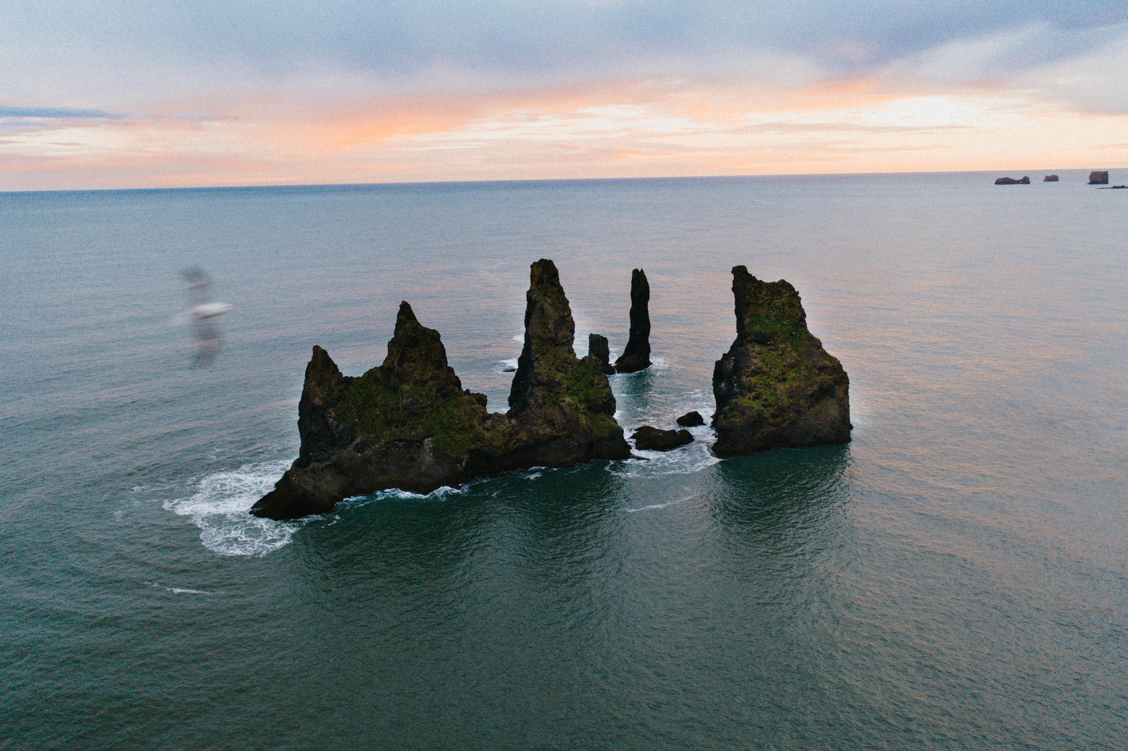
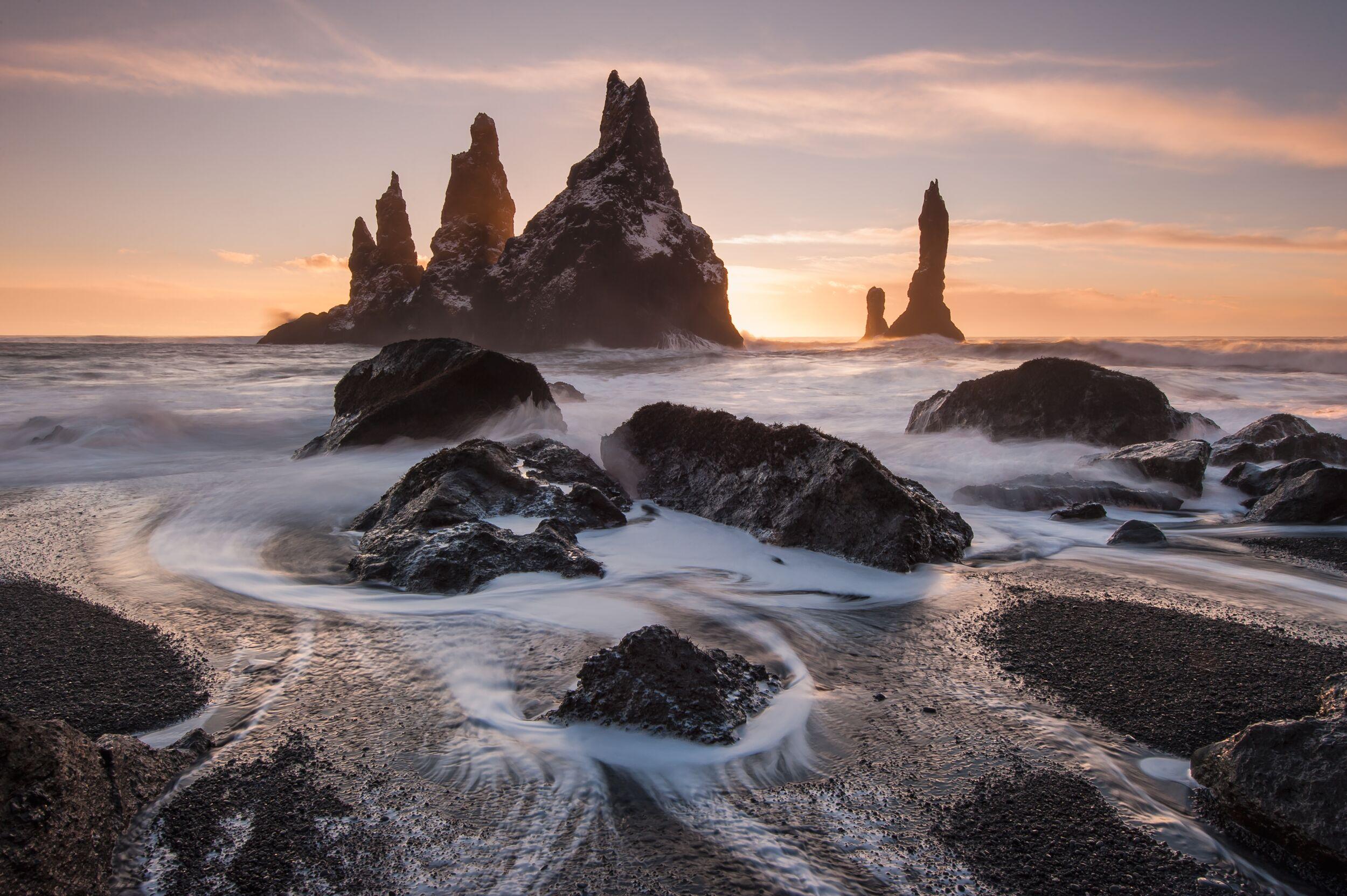
Sitting along Iceland’s south coast, where centuries of lava flow and volcanic activity has shaped the landscape, there are several striking rock formations around Dyrhólaey. The most iconic on the peninsula itself is the rock archway, stretching out over the wild Atlantic Ocean. You’ll find this rock formation at the very tip of Dyrhólaey. From the peninsula, you can also spot the dramatic sea stacks of the Reynisdrangar cliffs. Three basalt spires rise up out of the water, attracting photographers from far and wide.
Dyrhólaey is a short drive from Vík and the most striking feature of this jutting peninsula is the rock archway over the sea. The Dyrhólaey arch stands 120 metres high and is big enough for a boat to sail through when the sea is calm. If you don’t suffer from vertigo, you can walk across the top of the archway as the wild sea crashes beneath you.
Three prominent sea stacks stand marooned in the water off the coast of Vík village. Their rugged silhouettes create a haunting picture from the shore. The Reynisdrangar cliffs are steeped in legend, said to be the frozen forms of two trolls that were dragging a ship to shore before the sun rose and turned them to stone. In reality, these towering stacks are a continuation of the basalt rock formations on the mainland. They are uninhabited, save for large colonies of puffins and terns. The sea around the Reynisdrangar cliffs is far too rough to allow boat trips to the sea stacks, but you can stand on the long stretch of black sand at Reynisfjara Beach and admire them from afar.
You’ll find a car park for Dyrhólaey at the end of Road 218 which looks out over the rugged headline. It is labelled as ‘Dyrhólaey viewpoint’ on Google Maps. While the car park itself is free, there is a 200 ISK fee to use the toilets here. Some say these toilets have one of the best views in Iceland, so it is definitely worth the fee. There is a second cap park on the peninsula, but it is up a steep, bumpy road to Dyrhólaey lighthouse and is only really suitable for 4WD vehicles.
The water around Vík, Dyrhólaey and Reynisfjara is notoriously dangerous and there have even been fatalities in the past. Powerful sneaker waves suddenly rush up the beach and have been known to pull people out to sea – so far out that safe rescue is not possible. Signs and warnings on the beach and around Dyrhólaey advise visitors to stay away from the water’s edge and it is too dangerous to paddle in the shallows here, let alone swim in the sea. With such dangerous water conditions, swimming through the arch at Dyrhólaey is not possible.
From the car park, it is a very short walk to Reynisfjara Beach, taking just a few minutes before you reach the jet-black sand. The beach itself stretches for miles along the coastline, so you can embark on a long walk if you want to. From the east end of the beach, by Hálsanefshellir cave, it’s around three kilometres to the westernmost Dyrhólaey end of the beach, following the soft sand or heading along the clifftop path. It is worth noting that some parts of Reynisfjara Beach are cordoned off and inaccessible due to rockfall in the area and other sections are inaccessible at high tide.
With a café, restrooms, visitor’s centre and miles of jet-black sand, you can easily fill an hour at Reynisfjara Beach. If you are short on time, you can take a short stroll on the sand, admire the view of the Reynisdrangar cliffs out at sea and snap some photos of the ethereal-looking Hálsanefshellir basalt cave, all within half an hour. But to really make the most of the area, you might want to allow time for a walk to the Dyrhólaey end of the beach to spot puffins nesting in the cliffside and admire the Dyrhólaey sea arch.
A public area in Iceland, there is no fee to visit Reynisfjara Beach. In fact, parking at the Reynisfjara car park is also free. The only thing you may want to bring some krona for is lunch at the café or to pick up some souvenirs at the visitor’s centre shop.
A reference to the natural stone archway that creates a picturesque bridge across the sea, Dyrhólaey translates as ‘door hill island’ in English. The peninsula was once an island stranded out at sea, and it joined up with the Icelandic mainland after years of volcanic activity.


